Custom Search

Monday, December 5, 2011

HeadingForOpenWaters' photostream

44 - Me and Smoldercan43 - Small pike 42 - More Bass on Bass41 - Lillypad40 - Bait 39 - Bass on Bass
38 - Portage to Irwin Lake37 - More fishing36 - Fishing on Bass Lake35 - Looking southwest on Bass Lake34 - Orange Hawkweed33 - Bass Lake campsite
32 - Bass Lake31 - Bass Lake30 - Blueberries 29 - Leaving Clear Lake campsite28 - Clear Lake Sunset27 - Birnies Bass
26 - In the net25 - Dinner on Clear Lake24 - Shore lunch on Clear Lake23 - Loon22 - Loon21 - Portage to Bass Lake
HeadingForOpenWaters' photostream on Flickr.


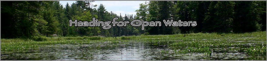
I thought I would the link to my Flickr Photostream , this where I will be sharing pictures from the canoe trip.

Sunday, December 4, 2011

Files + Links Update

I added a files link in the side-bar to share some resource guides I have found related to the Trans-Canadian canoe trip.

Enjoy !


     A Guide to Canoeing on the Clearwater River PDF


                       Manitoba Trip Reports PDF


                           The Methye Portage PDF


         Paddle Alberta Guide to the Clearwater River PDF


All copyrighted material is owned by its respected owners. These links are strictly provide as resource materials. No ownership is assumed by myself !

Sturgeon-Weir River - Part 3 Garmin .GPX Map File


               Sturgeon-Weir River - Part 3 Garmin .GPX Map File


These files can be opened in Basecamp and customized , then exported to your Garmin GPS of choice.
This is the same information that's contained in the Sturgeon-Weir River - Part 3 Google Earth file as well , just more customized for Garmin GPS users. 
It will probably help if you also have the Garmin Canada Map DVD installed to see this route in greater detail.


Download here   >>>>>>  Sturgeon-Weir River - Part 3 Garmin .GPX Map File

Sturgeon-Weir - River Part 2 Garmin .GPX Map File


                Sturgeon-Weir - River Part 2 Garmin .GPX Map File


These files can be opened in Basecamp and customized , then exported to your Garmin GPS of choice.
This is the same information that's contained in the Sturgeon-Weir River - Part 2 Google Earth file as well , just more customized for Garmin GPS users. 
It will probably help if you also have the Garmin Canada Map DVD installed to see this route in greater detail.


Download here   >>>>>>   Sturgeon-Weir - River Part 2 Garmin .GPX Map File

Sturgeon-Weir River - Part 1 Garmin .GPX Map File


           Sturgeon-Weir River - Part 1 Garmin .GPX Map File

These files can be opened in Basecamp and customized , then exported to your Garmin GPS of choice.
This is the same information that's contained in the Sturgeon-Weir River - Part 1 Google Earth file as well , just more customized for Garmin GPS users. 
It will probably help if you also have the Garmin Canada Map DVD installed to see this route in greater detail.


Download here   >>>>>>   Sturgeon-Weir River - Part 1 Garmin .GPX Map File

Saskatchewan River - Garmin .GPX Map File


                            Saskatchewan River - Garmin .GPX Map File


These files can be opened in Basecamp and customized , then exported to your Garmin GPS of choice.
This is the same information that's contained in the Saskatchewan River Google Earth file as well , just more customized for Garmin GPS users. 
It will probably help if you also have the Garmin Canada Map DVD installed to see this route in greater detail.


Download here   >>>>>>   Saskatchewan River - Garmin .GPX Map File

Lake Winnipeg - Garmin .GPX Map File


                                  Lake Winnipeg - Garmin .GPX Map File


These files can be opened in Basecamp and customized , then exported to your Garmin GPS of choice.
This is the same information that's contained in the Lake Winnipeg Google Earth file as well , just more customized for Garmin GPS users. 
It will probably help if you also have the Garmin Canada Map DVD installed to see this route in greater detail.


Download here   >>>>>>   Lake Winnipeg Garmin .GPX Map File